top of page

FROM THE FIELD TO THE MAP

UTILITY LOCATING
FIELD IDENTIFICATION & DESIGNATION
We use electromagnetic locating methods, available records, and visible field evidence to investigate and designate existing underground utilities.
- Private Utility Locating
- Electromagnetic Utility Designation
- Above-Ground Feature Investigation
- Utility Verification & Documentation
MORE WAYS WE CAN HELP
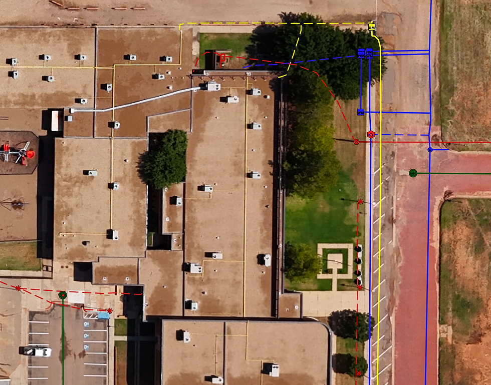
Utility Records Research
Compile and review available utility records, mapping, 811 information, easements, plans, and other sources to support field investigation and project planning.
Utility Records Digitization
Convert legacy utility maps, drawings, and records into organized digital mapping for easier access, visualization, and long-term asset management.
Existing Utility Data Collection
Capture utility features and field observations using GNSS/GPS equipment for integration into GIS, CAD, KMZ, CSV, and other project deliverables.
BUILT FOR REAL-WORLD PROJECTS


Surveying Firms
Civil Engineering Firms
Developers
Industrial & Energy



Renewable Energy
Municipalities
General Contractors
Utility Owners
bottom of page